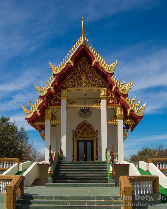
I was taking pictures at the Buddhist Temple in Keller Texas (one of my favorite photo locations when I am in Keller) when it occurred to me I had four GPS equipped cameras with me. So it was time to do my first test of four GPS enabled cameras in the same location.
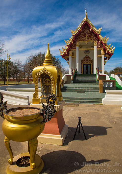
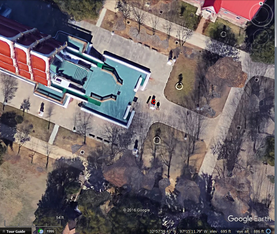
Each camera would provide GPS coordinates (all different), but I needed a way to independently verify the actual camera location. Fortunately, I have been here before and knew that high resolution satellite photos existed of the area. I put my tripod on the north side of the small pagoda shaped structure in the above photo (probably a small Chedi or Stupa), knowing it would show up in the Google Earth satellite image.
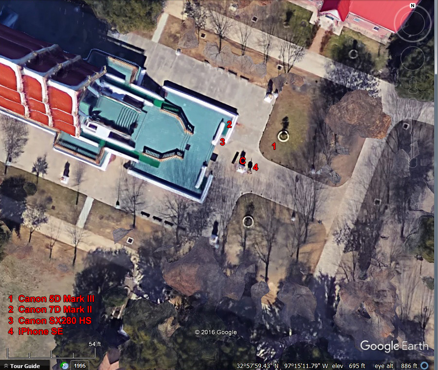
The tripod/camera location is marked with a red C in this Google Earth satellite image.
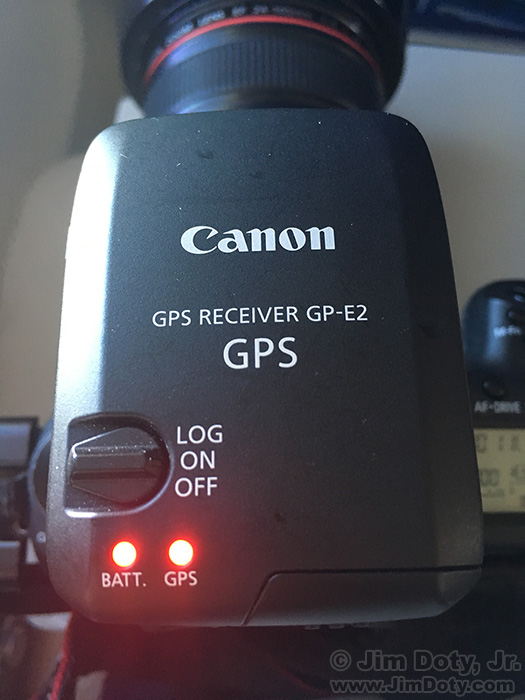
One by one I put each camera on the tripod and took a photo, beginning with the Canon 5D Mark III. The 5D3 does not actually have a built in GPS unit so I put the Canon GPS GP-E2 satellite receiver in the hot shoe. It feeds GPS coordinates to the camera which is recorded in the metadata of each photo. The other three cameras have a built in GPS receiver.
Back home I opened each photo in Adobe Bridge, grabbed the GPS coordinates and dropped them into Google Earth. (This article shows you how.) Google Earth takes you to a satellite image and drops a yellow pin at the GPS coordinates. You can zoom in or out on the satellite image, depending on how much area you want to see.
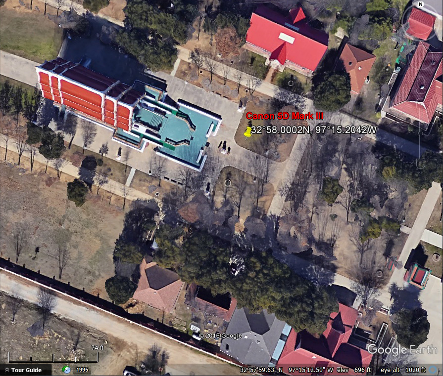
The GPS coordinates from the Canon 5D Mark III were north and east of the actual camera location.
The GPS coordinates from the Canon 7D Mark II were north and a little west of the actual camera location.
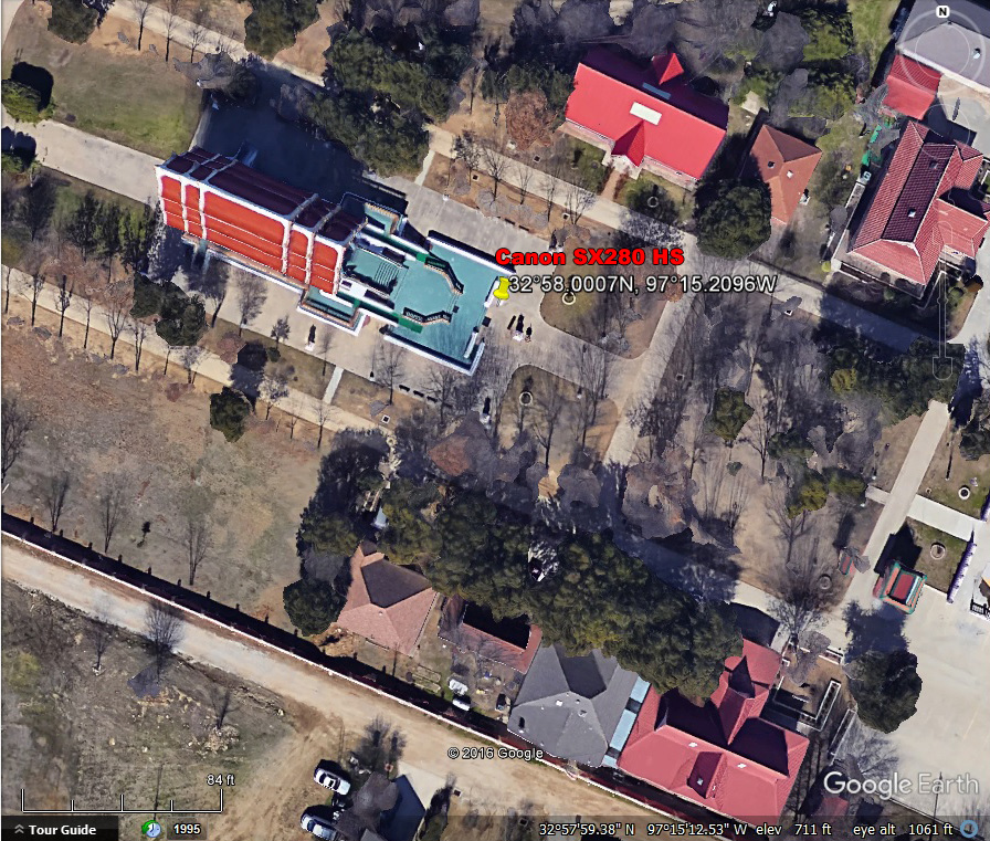
The GPS coordinates from the Canon SX280 HS were northwest of the actual camera location.
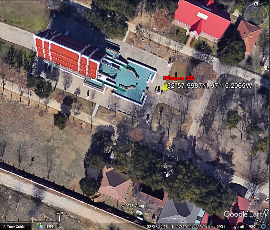
The GPS coordinates from the iPhone SE were just a few feet east of the actual camera location.
Based on the distance scale (lower left) of this satellite image, the GPS coordinates from all four cameras were within 25 feet of the actual camera location. The iPhone was closest at around 8 feet. I did this test before at a different location with three cameras and other tests before that. The direction and distance from the actual camera location varies with each test. That is just the nature of GPS technology. But with rare exceptions, at least in my experience, the GPS coordinates provided by your camera will be within 25-30 feet of your actual camera location. That is the preferred degree of tolerance set by the government for civilian satellite technology.
There is another variable in all of this, and that is with Google Earth. If you change the date of the satellite image, the location on the map will change even though the GPS coordinates are the same. More about that in the next article.
Links
GPS Variations in Google Earth’s Timed Satellite Images
“How To†Series: Using GPS in Photography
Wat Buddharatanaram – Wat Keller, Keller Texas
Purchase Link

