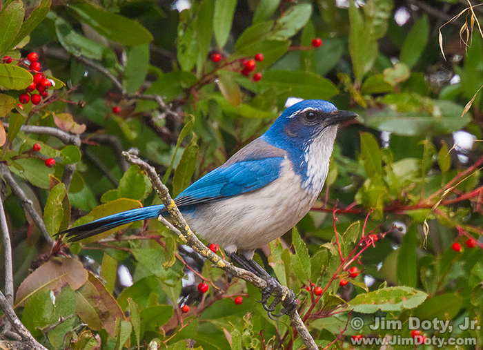
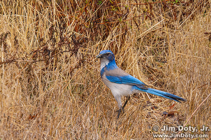
10 years ago this morning I was at the Don Edwards San Francisco Bay National Wildlife Refuge in Fremont California. I spotted this pretty blue bird while driving around the parking lot at the visitors center. It was in the dry grass grass at first and then hopped into a bush with red berries. As you can see, the bush photo is much better. When I had a chance I looked up this bird. It is a Western Scrub-Jay.
It was a few years ago that I decided to mark the photo location for this image in Google Earth Pro. I thought I was on the northeast side of the parking lot loop but I wasn’t sure.
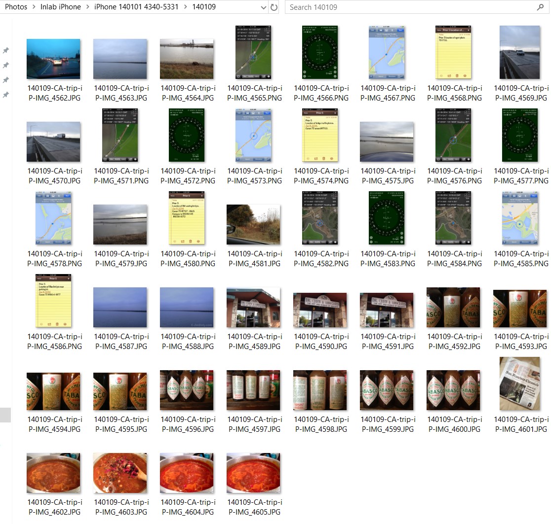
I went to check my iPhone photos for the same date and I hit paydirt. Among the 44 images I created that day, there were location indicators for four photos I took at the refuge. Best of all, there were 5 locations indicators plus a note for the jay.
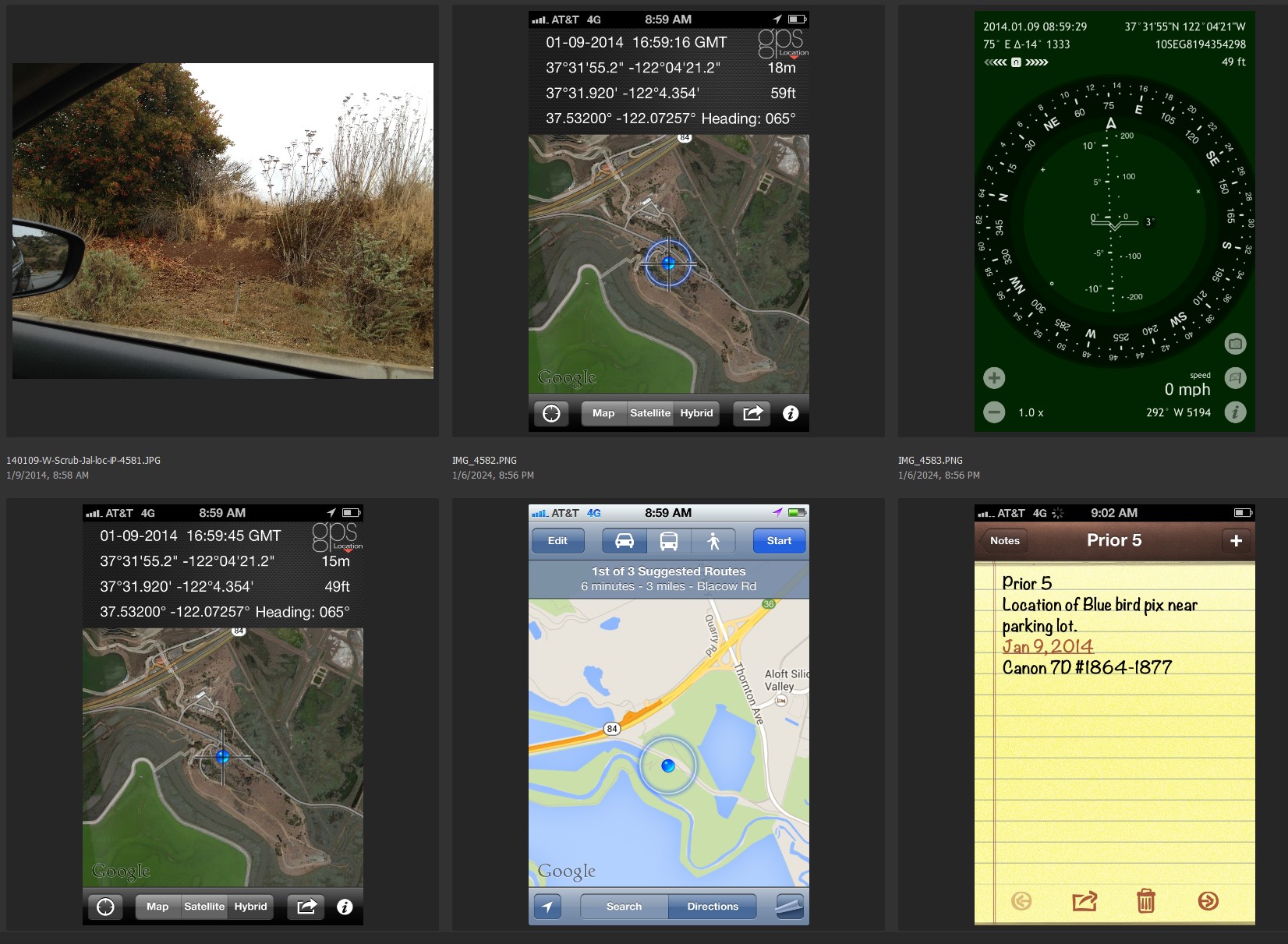
I photographed the location with my iPhone from the same spot that I took the jay images with my serious camera (upper left image). I did 4 screen captures of various GPS and mapping apps. And so I would know which indicators belonged to which serious camera photos, I left myself a note (bottom right image):
Canon 7D #1864-1877 (the camera model and photo numbers),
I wrote the note using the Notes app on my iPhone. Then I did a screen capture of the note so it would be next to the 5 location images.
First I opened the location photo of the bushes and dry grass to check the GPS coordinates. They were way off due to my phone being inside the car. The GPS coordinates showed a prior location much farther away when I was last outside the car with my phone.
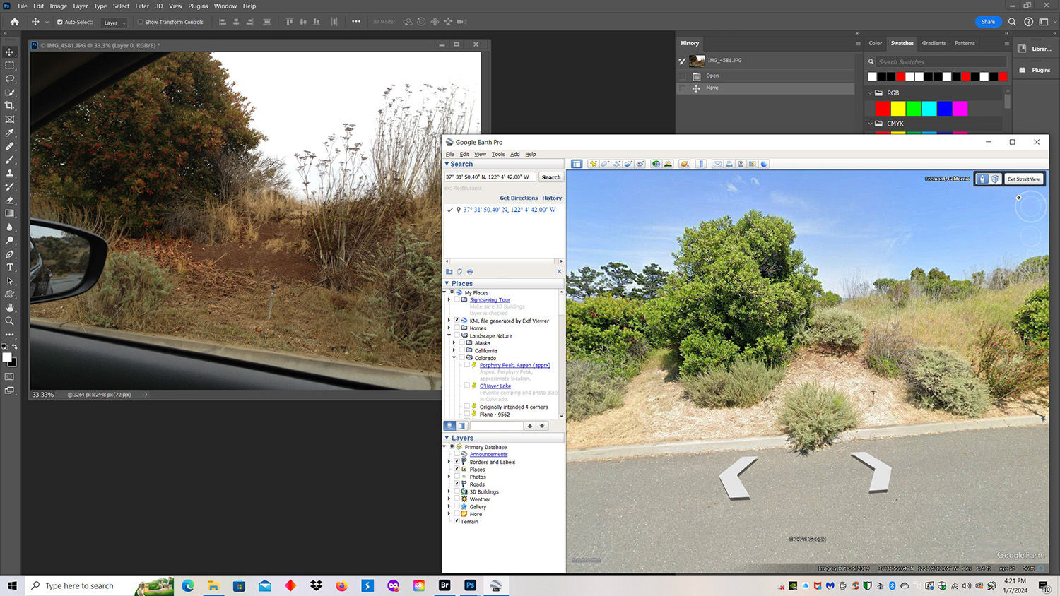
With the iPhone photo of the location open in Photoshop, I opened Google Earth Pro, and went to street view. Fortunately for me, the Google Earth vehicle took a photo about every 10-15 feet all around the parking lot. I drove around the parking lot using Google Earth Pro until the images matched, right down to the water sprinkler.
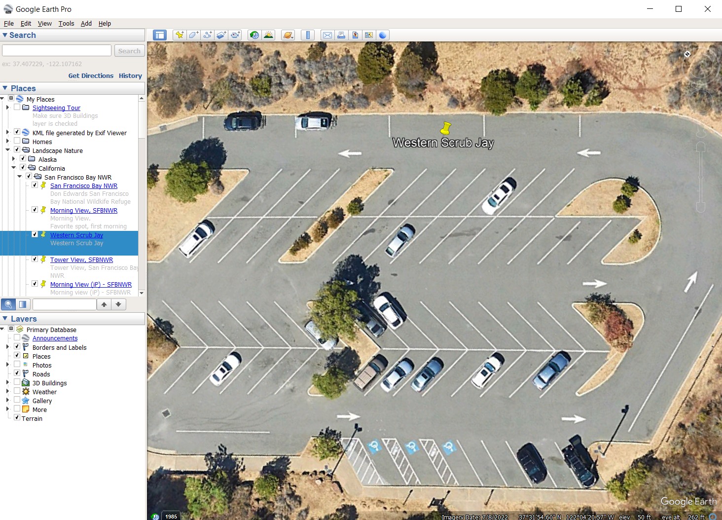
I had my exact location and marked the spot and saved it to my locations in Google Earth Pro. North is to the upper left so I was on the northeast side of the parking lot.
Why would I take the time to do this? I learned there are photo editors who will not choose your photos for publication unless you have accurate GPS coordinates for the images.
If I am using a camera that does not record GPS data for each photo and I take an important image that I think might be publishable, I take an iPhone photo from the same spot so I have the GPS data. Most smart phones record GPS information if you have that feature turned on.
I wrote a series of articles on how to incorporate GPS data in your photography. See the link below.
Link
“How To” Series: Using GPS in Photography

